

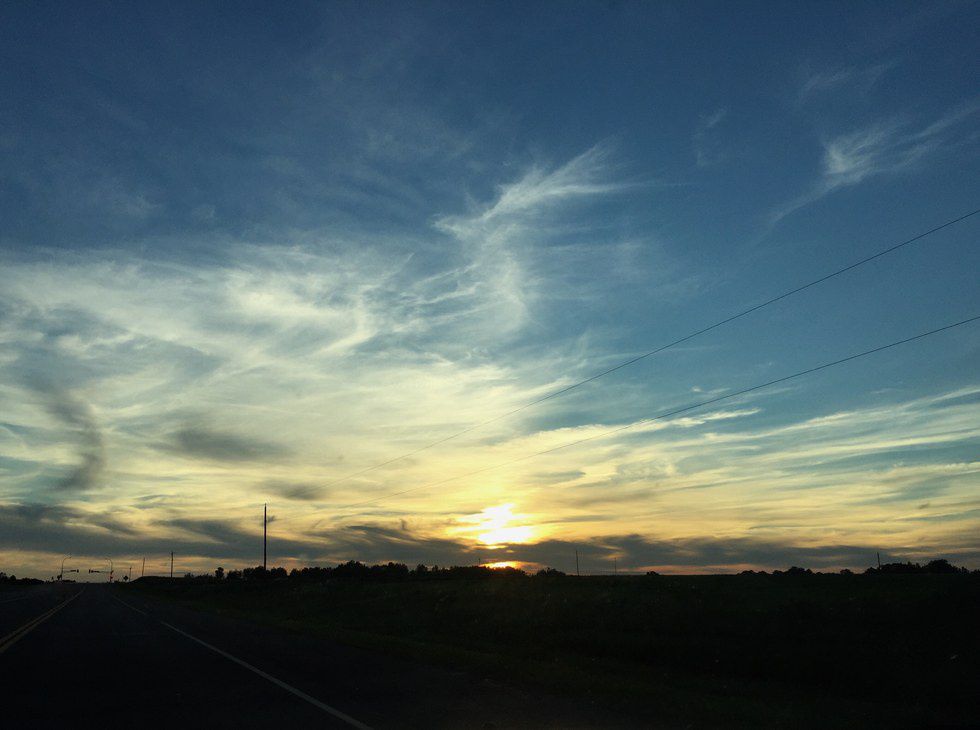
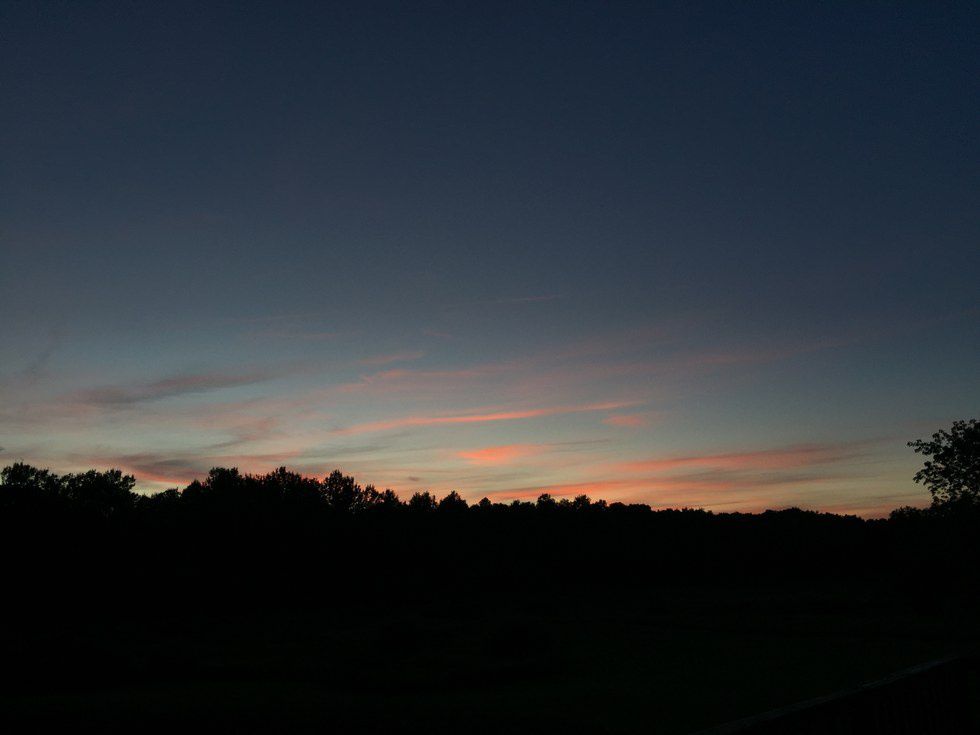
The other night after work, I saw the most beautiful sunset. The top picture was taken at 8:50pm and the bottom one was taken at 9:00pm. It is amazing how quick the sky can change. I took the first picture as I was leaving work and then I had rushed back to my grandmas in Sandstone, Minnesota to try and capture the view from the country. The second picture is what I got. The sun danced on the cirrus clouds over the tree tops while I sat out on the porch and watched the sky go dark.
These wispy clouds start forming at heights about 5 kilometers up to 18 kilometers, so about 16,000 feet to 60,000 feet up. Cirrus clouds are the highest forming clouds in the four main cloud categories. Since these clouds are so high, they are not made up of water vapor like lower forming clouds. Temperatures tens of thousands of feet up can dip down to -30 degrees Celsius or -22 degrees Fahrenheit. So instead of these clouds being made up of water droplets, they are made up of ice crystals. But before they start forming, there needs to be something for the clouds to form on. The ice crystals attach onto particles in the air such as dust particles, volcanic ash, and metallic particles. So once the cooled droplets find a particle, cirrus clouds can start to form.
Although we may not take it into consideration, water in the sky does bear weight. Since cirrus clouds are thin, they only weight about 2,000-20,000 pounds.
Cirrus clouds are usually associated with fair weather. Which was true in my case. The weather that day was beautiful. At least until the mosquitos came out. Cirrus clouds can also indicate a warm front. Since warm air is less dense than cold air, the warm air moves up and over the cold air. This lift causes there to be a layering of clouds. One of these layers is the cirrus layer. So, if you see those cirrus clouds, a warm front has most likely gone through. Now go out and enjoy the fair weather cirrus clouds bring with them.